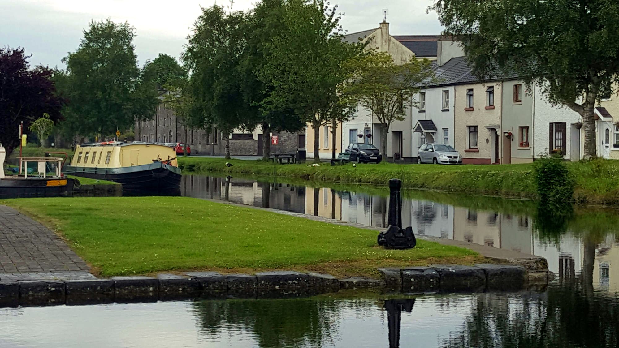
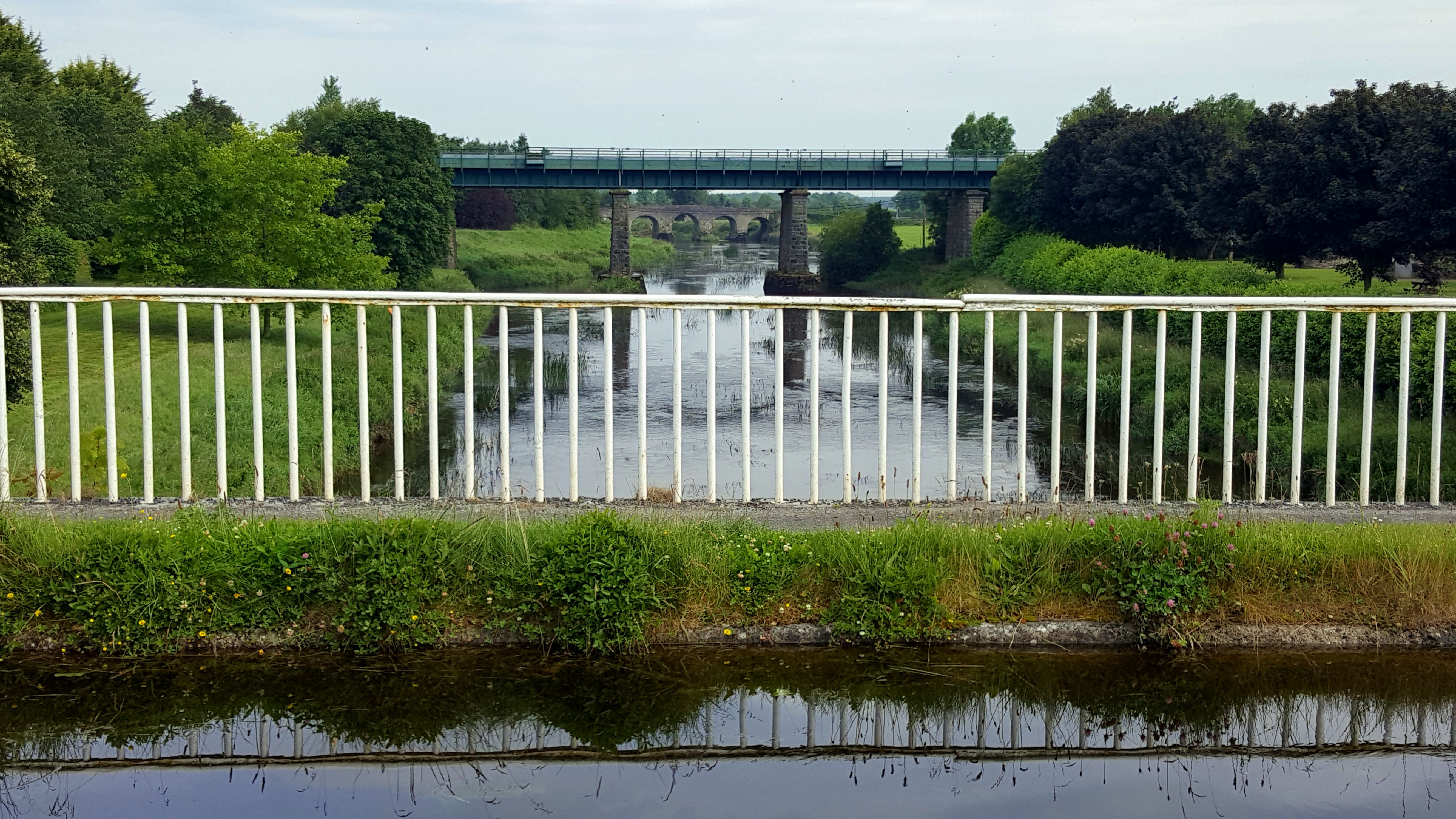
In its heyday, the canal would have served as an economic artery for Monasterevin, but those days are long gone, and the town has turned its back on the canal. The industrial heritage of those bygone days is still in evidence in the town. The view northward from the aqueduct with the railway line and the Portarlington Road aligned bridging the River Barrow is a spectacular showcase of civil engineering.
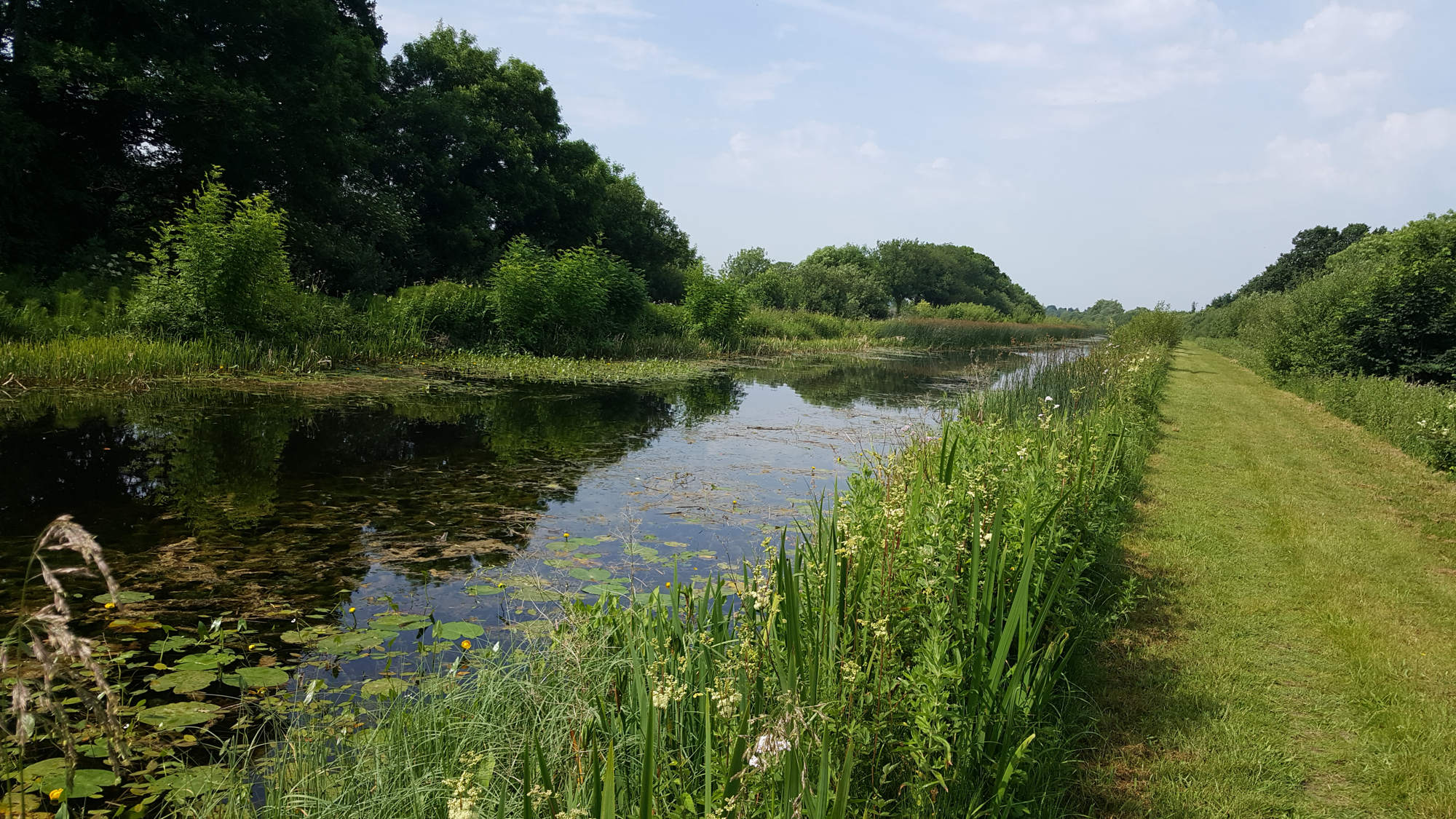
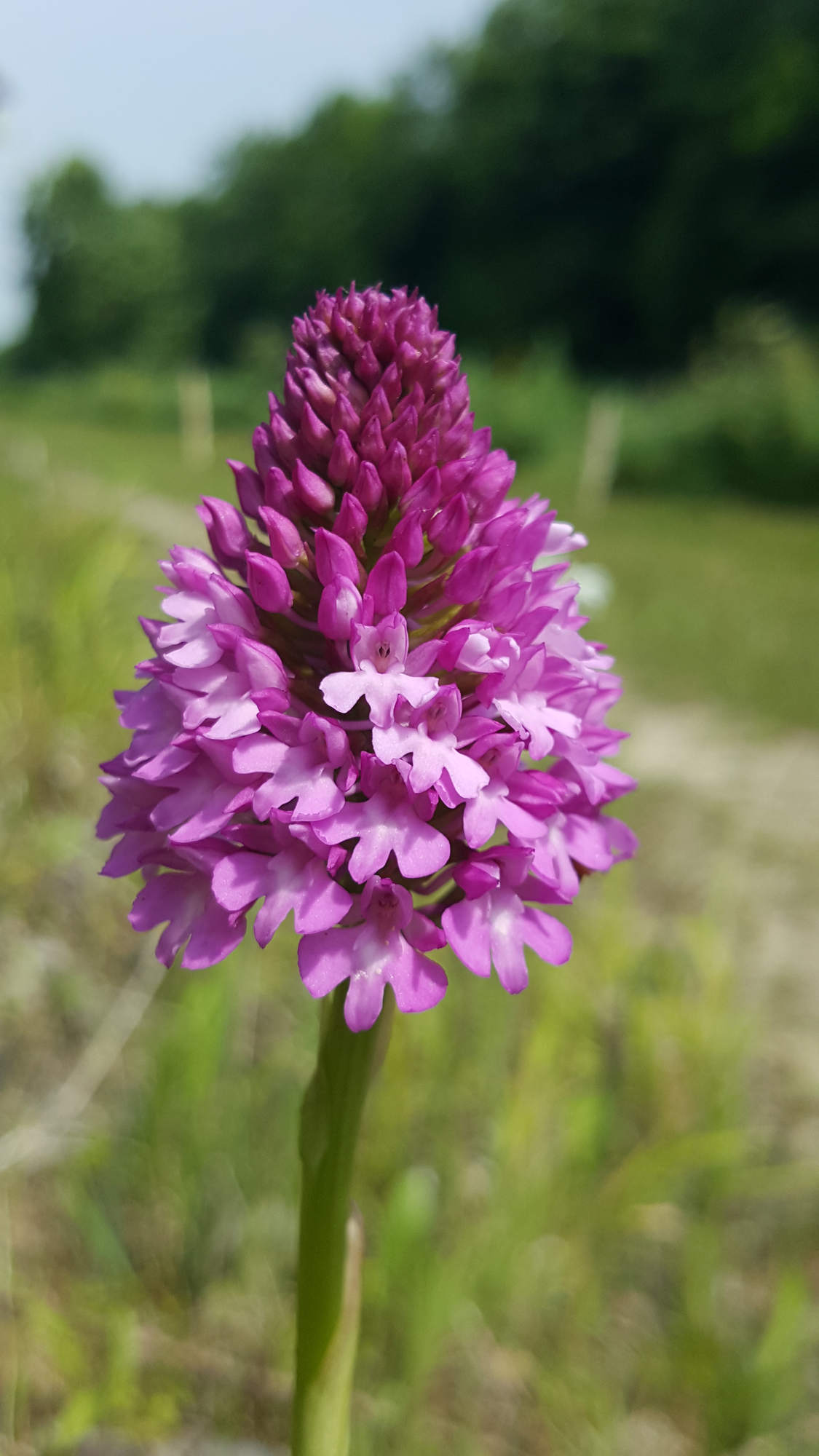
The walk from Monasterevin initially followed a lovely sunny bank on the right, festooned with deep pink pyramidal orchids and spotted orchids of different hues of white and pink. Butterflies basking in the warmth of the bank, bees and hoverflies busily going about the business of pollination. And all the bare patches of earth were pockmarked with small holes, tell-tale signs that it is also home to solitary bees. Passing under the M7 motorway was a strange experience with the traffic hurtling past; together in the same place yet worlds apart. But from here to Athy, a distance of maybe 18km, it was just me, my thoughts and nature, a rare experience these days. What is special about this place is the path was a wide wonderful carpet of mown grass, beautiful to walk on which made covering the distance enjoyable. That any organisation would seek to rid the area of this asset is absurd.
Having said that, I was struck, yet again, how little use is made of the canal and twopath. Over the course of four or five hours I met two fishermen, one woman walking her dog and a father and son paddling a canoe. It is ludicrous that the canal and towpath gets such little use, and I can understand why businesses would like to build a cycleway along the canal to generate tourism revenue for an area that could badly do with an injection of commerce; towns like Rathangan, Monasterevin and Athy would certainly benefit from more visitors. But planning to sweep away what is already there and replacing it with a surface more suitable for cycling means rather than encouraging multi-use of the amenity, priority is given to one group of users over others. And, while I greatly enjoy ambling along the towpath, looking at wildlife, I know that if the towpath was resurfaced and I arrived here on my bike, I would head off at a different pace eager to cover the miles as quickly as I could, spoiling the experience for others.
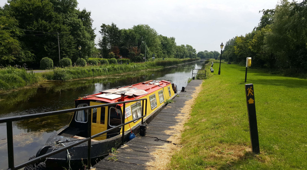
But I did notice that for almost the entire distance from Lowtown to Athy, a road or farm track runs either side of the canal. Why not retain the grassy towpath for walkers, but develop the other side as a cycling path, thereby segregating the users? It would require the agreement of the local community, and probably giving cyclists the right of way along some sections of narrow local roads, but the benefits would be enormous. Having a cycle route from Dublin to Athy would be a great amenity that could help rejuvenate the area. And while this might be a compromise proposal, I certainly wouldn’t support the plan to construct a cycle path along the Barrow River, south of Athy.